

 USA
USA
 CA
CA KSA
KSA UAE
UAE QA
QA OM
OM IN
IN AU
AU UK
UK NZ
NZ DE
DE MY
MY NO
NOConnecting The Outdoor Recreation Community
Adventure seekers and trail lovers have discovered Washington State as an outdoor Mecca. The diverse topography and climate of Washington State attract those who wish to get lost- without getting lost. Washington State boasts rainforests, mountains, arid deserts and diverse water features.


Too much of a good thing
To promote sustainable recreation tourism, provide the best user experience, and divert traffic from well-loved trails to lesser-known hidden gems, Washington State Tourism, chambers of commerce, local user groups, and land managers collaborated. Dharma Maps developed TREAD Map in partnership with TREAD, a regional trail advocacy organization.


The Beaten Path
Because of Its expansive and diverse trail system and word clsss parks like Mount Rainier and Olympics Washington State has become a popular destination for adventure seekers from around the world. As a result, the most popular parks, trails and trailheads are overcrowded and overloved.
Paths Less Traveled
By offering alternatives to popular locations, TREAD Map empowers land managers and experts to assist explorers in discovering nearby opportunities with less crowds and equal beauty.


Real time: Your Theme, Your Message, Your Store
Establish a theme in TREAD Map and manage you areas, content, messaging and store- all in real time.
What Adventurers Need To Know, When They Need To Know It
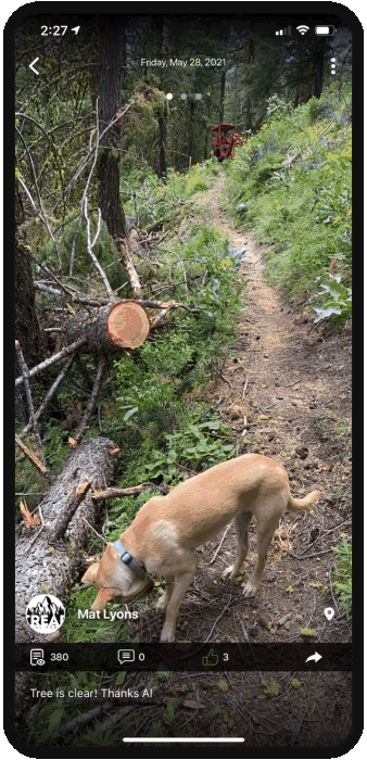
When Mother Nature steps in, we inform users that the trail has been closed due to fires, floods or even air quality. Land managers can manage customized filters in TREAD Map to make sure users are never caught off guard by alerts and updates on trails. Bridge out, Snake on trail, trail too muddy- all in real time.


These Views Are Great
With TREAD Map, land managers can customize their regions views based on selected filters. For example, if there is a fire, you can chart its perimeter., show closres and air quality.
Crafted by Local Experts and Boots on the Ground Experience
Learn more at Dharma Maps link https://dharmamaps.com/project/detail/tread-map
-
BACKEND
Python, Postgresql
-
PLATFORM
iOS, Android, Web
-
FRONTEND
Next.js
Next Case study
-

voilo business
Voilo is a fully intergrated reward platform that enables high street businesses to attract, retain and drive customer footfall by making them visible to millions of nearby customers.


-

OPTIFO
Optifo is a one-stop shop for all of your automobile photo editing requirements. It is a robust application that enables you to take easy and clean images of your cars by following helpful suggestions.